Trails
Master Plan
Connecting Landscape
and Community
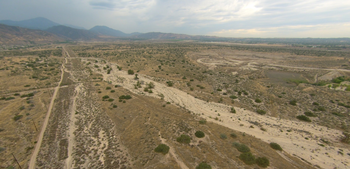
The San Bernardino Valley Water Conservation District manages land that serves many purposes. Alongside its core mission of groundwater recharge, parts of the Wash also provide opportunities for public access and outdoor education. Recognizing this, the District developed a Trails Master Plan that supports responsible recreation while maintaining the ecological and hydrologic integrity of the area.
The plan builds on the framework of the Upper Santa Ana Wash Habitat Conservation Plan, which allows limited trail access within specific boundaries. The goal is to offer safe, well-managed connections for walking, observation, and environmental learning without interfering with water operations or habitat protection. The result is a thoughtful approach to public access that reflects both community interest and environmental stewardship.
Planning
the Network
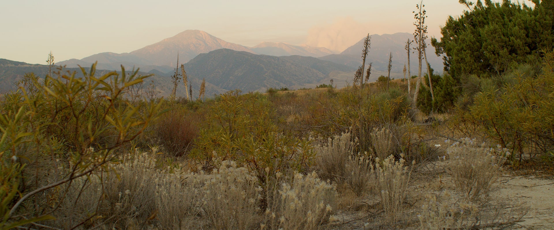
Early work on the Trails Master Plan began with a concept study led by university teams from UC Riverside, University of Redlands, and Cal Poly Pomona. The students analyzed land features, water infrastructure, and habitat conditions to identify potential routes that could coexist with existing recharge and conservation areas.
After review by the Cities of Redlands and Highland, the District refined the plan with professional consultants. The process included field assessments, environmental considerations, and design principles suited to the Wash’s natural setting. Collaboration with the U.S. Fish and Wildlife Service and other agencies ensured that every proposed trail aligned with long-term habitat goals and regional connectivity.
Design and
Management Principles
Clear design, construction, and maintenance standards that prioritize accessibility, safety, and ecological health.
Defined patrol, monitoring, and regulatory frameworks that ensure consistent management and accountability.
Practical guidelines for signage, vegetation, and long-term governance that preserve the Wash’s natural function and visitor experience.
-

Clear design, construction, and maintenance standards that prioritize accessibility, safety, and ecological health.
-

Defined patrol, monitoring, and regulatory frameworks that ensure consistent management and accountability.
-

Practical guidelines for signage, vegetation, and long-term governance that preserve the Wash’s natural function and visitor experience.
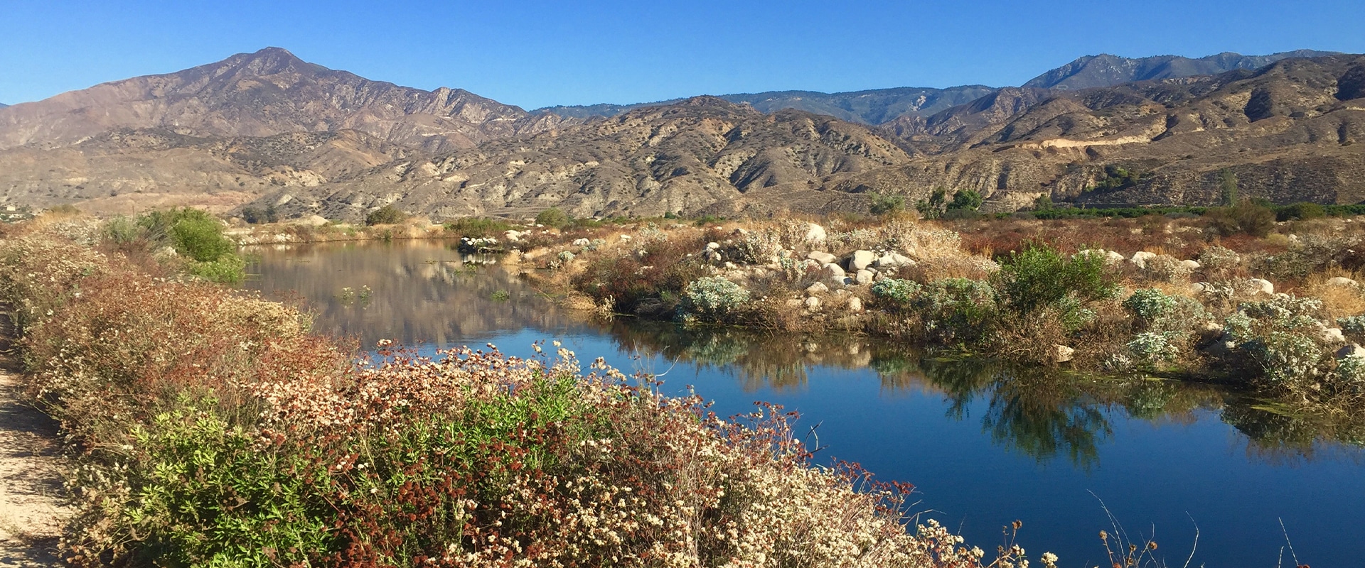
The Trails Master Plan represents a careful blend of community vision and environmental care—a living example of how stewardship can shape meaningful spaces for people and nature.

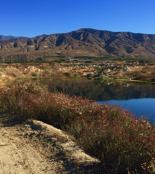
Looking Ahead
The District continues to work with local governments and partner agencies to advance the next phase of implementation. Future efforts will integrate the Wash trail network into the broader regional system, creating seamless connections with nearby city trails and open-space corridors. As plans progress, public access will expand gradually, guided by ongoing monitoring and adaptive management. The goal is a shared landscape that offers recreation, education, and conservation in balance.